MASTER PLAN 2031
BIHAR
GIS-Based Urban Planning & Infrastructure Development
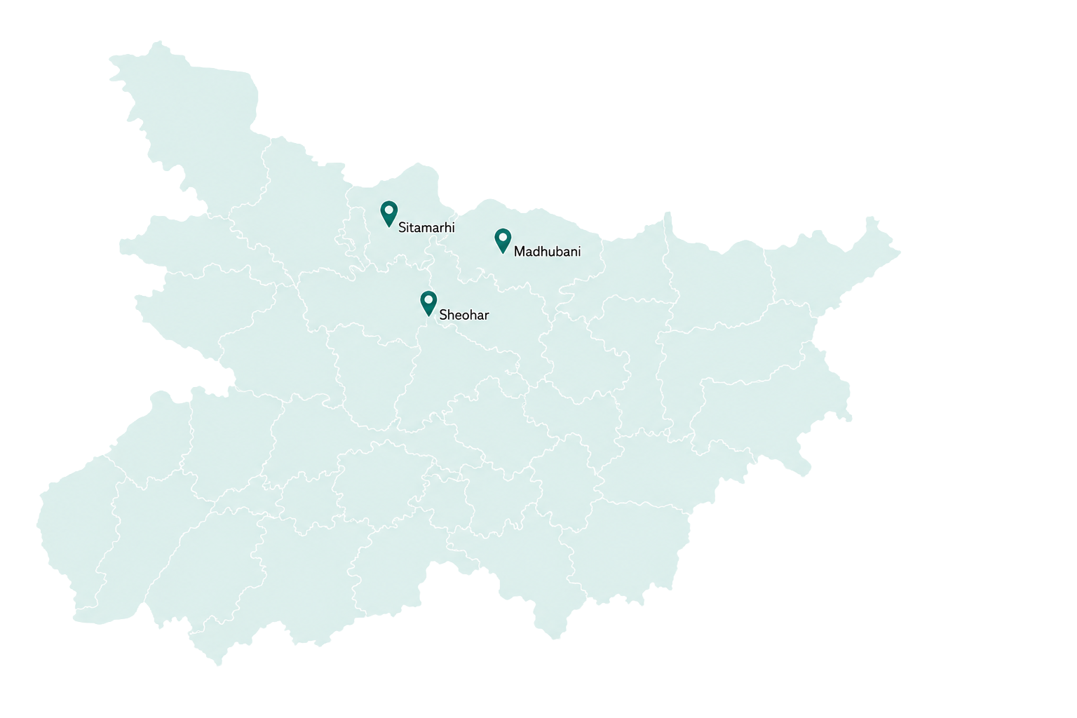
Coverage
HighLight
Bihar’s urban centres are experiencing a demographic and economic transition, making structured urban planning essential. The Urban Development & Housing Department commissioned Citiyano De Solutions to prepare GIS based Master Plans for Sitamarhi, Madhubani, and Sheohar, covering a total area of 391 sq. km. and serving a population of 2.6 lakh residents.
Our work involved base map validation, detailed land use analysis, and the formulation of draft development plans using advanced spatial planning tools. This initiative introduces a data driven approach to urban management, shifting the state away from fragmented, reactive planning. The Master Plans provide a clear vision for housing, transportation, and economic development, ensuring these growing towns can accommodate new needs efficiently and equitably.
Impact
Established a long-term vision for urban growth, replacing piecemeal development with coherent planning.
Enabled efficient allocation of state and municipal resources for infrastructure and services.
Strengthened municipal governance through data-driven decision-making tools.
Improved access to housing, water supply, sanitation, and transportation for a growing urban population.
Created opportunities for economic growth by identifying and developing commercial and industrial zones.
Reduced environmental degradation through controlled and sustainable land-use planning.
Enhanced coordination between the Urban Development & Housing Department and local urban local bodies.
Promoted social equity by ensuring inclusive access to essential services and urban amenities.
Boosted investor confidence through clear regulatory frameworks and predictable development pathways.
Provided a scalable and replicable urban planning model for other districts in Bihar.
Scope
Geographical Coverage: 391 sq. km. across Sitamarhi, Madhubani, and Sheohar districts.
Population Served: Approximately 2.6 lakh residents.
Base Map Validation: Verified and updated spatial data to ensure accuracy and reliability.
Land Use Analysis: Conducted detailed assessments of existing and proposed land-use patterns.
Concept & Preliminary Planning: Prepared concept plans and preliminary reports for stakeholder review and approval.
Draft & Final Development Plans: Developed comprehensive development plans along with regulatory frameworks and guidelines.
Infrastructure Mapping: Identified infrastructure gaps and proposed improvements for roads, utilities, and public amenities.
GIS Integration: Leveraged advanced GIS tools for spatial analysis, mapping, and visualization.
Stakeholder Collaboration: Coordinated closely with UDHD, municipal authorities, and community representatives throughout the planning process.